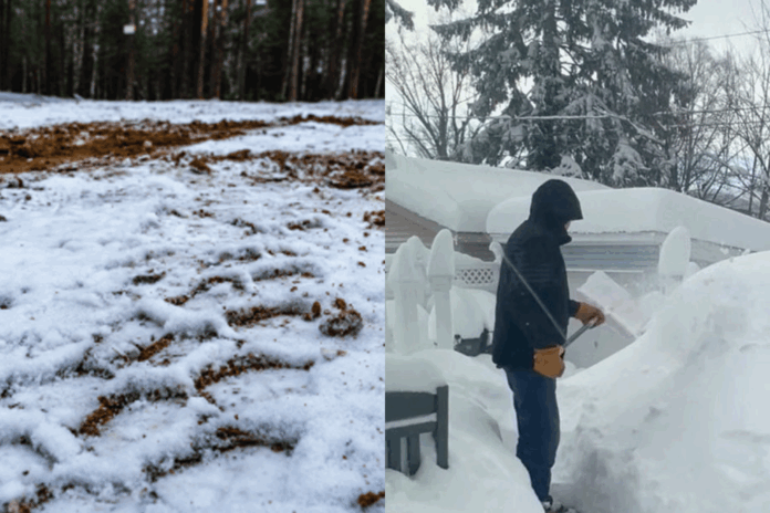
Climate change doesn’t mean that there will be no more snowfall; rather, it leads to more unpredictable weather in general. As the air begins to cool, experts have started logging their annual predictions for winter weather on the eastern continent, and there’s no clear consensus between meteorologists and weather gurus on social media.
Predictions for this season have been all over the place as climate change means the weather has become more extreme than ever before. On top of difficulties created by climate change, cuts made to the U.S. National Weather Service and the National Oceanic and Atmospheric Administration (NOAA) have reduced the total available data for weather models.
These cuts have been linked to inaccurate weather predictions or delayed severe weather alerts, contributing to sudden weather disasters in Texas and more recently in Alaska.
These cuts have also affected Canada, as the country makes substantial use of NOAA data for weather predictions.
Predictions for winter weather this season have, for the most part, provided snapshots of a colder, wetter and more snowy winter than average, though not all sources are in agreement.
For Southern Ontario, The Weather Network predicts a stretch of milder weather during the middle of winter (December to February), while a dominant storm track is expected to be in the Great Lakes region and up into the St. Lawerence.
Much of this prediction is based on whether a La Nina weather pattern is officially declared, which generally means colder weather across Canada, with a harsh winter climate in Western Canada due to Pacific Ocean currents.
Social media, however, has its own growing group of weather gurus who have made some predictions for the upcoming winter in North America.
Degreed meteorologist and weather influencer Max Velocity has created several predictions for this winter that indicate an extremely wet season with more snowfall in the Great Lakes region.
In a reel that has around 50,000 likes at the time of writing, Velocity compares currently observed weather patterns — such as a suppressed hurricane season in the Atlantic — to weather patterns that were seen 12 years ago in the winter of 2012 to 2013.
The winter of 2012 to 2013 was particularly prone to storms, with several outbreaks occurring on the eastern side of the continent. During this time, many Canadians experienced an ice storm that hit Southern Ontario.
With slightly conflicting weather forecasts for this winter compounded by a weakened continental weather service, expectations are mixed.
Experts recommend that pedestrians dress accordingly for the cold weather, exercise greater caution when crossing the road in snow and wear adequate footwear.weather, exercise greater caution when crossing the road in snow and wear adequate footwear.
For those who drive, ensure you have proper winter tires and above all to avoid driving in adverse weather conditions to begin with.
In Ontario it isn’t illegal to not have winter tires, but it can be more hazardous, especially in low temperatures as regular tire compounds tend to stiffen and can lead to poorer performance even without snow or ice being on the ground.
If these experts are to be believed, Brock students could be in for a more intense winter than years past.


