

Communities across Canada navigated a summer defined by climate extremes, ranging from prolonged heat domes and aggressive wildfire activity to historic convective downpours. The national climate throughout June, July and August was shaped by simultaneous weather systems that placed sustained strain on public services and power grids.
Severe stagnant heatwaves stalled across central and eastern Canada, with daytime highs ranging from 30°C to 37°C, accompanied by humidex values ranging well over 40°C. Between June 30 and July 4, CBC reported that Toronto hospitals saw 39 heat-related ER visits. 15 of those visits occurred on July 2 during the peak of the heat wave, with the temperature at 36°C and humidity at 48°C.
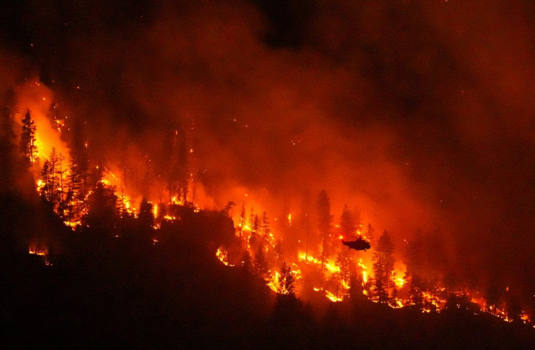
Simultaneously, wildfires ignited nationwide. On Aug. 18, the government of Canada uploaded a news release providing updates about the 2026 wildfire season. The release highlighted that as of mid-August, there were 582 active wildfires, with 31 of them uncontrolled. This was part of the 4,793 fires and 4.1 million hectares burned during the wildfire season.
While the active fires remained largely concentrated in the West, the North and Northwestern Ontario, the smoke travelled far past those cities and into Southern Ontario, with Toronto being at high risk on the Air Quality Health Index.
The periods of heat were then met with heavy rainfall. Ottawa experienced its rainiest summer on record, with July setting the all-time record for the rainiest month with 281 millimetres of rainfall. For comparison, July’s average rainfall in past years has been 88 millimetres. June saw 123 millimetres, surpassing its average 97 millimetres and August saw more than three times its average rainfall of 25 millimetres with 83 millimetres.
Rather than being spread over eight hours, the rainfall occurred intensely within an hour, which retired climatologist David Philips says tends to cause more flooding, whileextreme weather events are expected to become more common with climate change. Philips specifies that extreme weather does not mean next summer will be rainier, saying, “next year might be the driest on record. It’s not just that the weather is warmer it’s more extreme, […] more wild swings.”
Montreal and Toronto also saw an increase in rain, with 40 per cent more rain than usual in Montreal and 18 per cent more precipitation in Toronto. Subsequently, Montreal experienced its third consecutive year of flooding, after no flooding for nearly 40 years prior. The Greater Toronto Area were also impacted by the rainfall, bearing witness to flooding, fallen trees and power outages.
The Niagara Peninsula endured an unprecedented barrage of localized cloudbursts. Between July 21 and Aug. 2, St. Catharines experienced three major storm periods, resulting in over 400 millimetres of rainfall in the span of a week.
The first of the three occurred on July 21, the second from July 27 to 28 and the third on Aug. 2. The second and third triggered widespread and repeated flooding. This resulted in surcharging sewers backing up into thousands of residential basements, while washed-out roads and Lake Ontario shoreline erosion caused widespread disruption.
The city’s flood alleviation program received 3,500 applications, far exceeding its typical annual intake of 30 applicants, demonstrating the rarity of this event but also a look into the implications of climate change in the future.